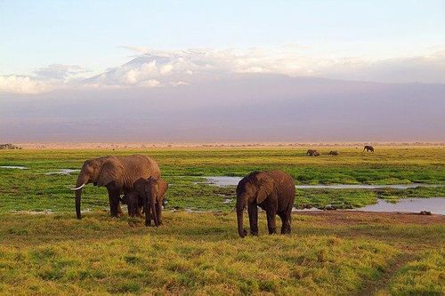
Kenya Chapter
Contact InformationChapter Lead: Lucy Chege Waruingi Email: [email protected] Chapter Officials:
DescriptionThe Society for Conservation GIS (SCGIS) is a non-profit organization that builds community, provides knowledge, and supports individuals using Geographic Information Systems (GIS) and science for the conservation of natural resources and cultural heritage. The Kenyan chapter of SCGIS, SCGIS-Kenya was launched at the beginning of 2006. This society has accomplished many things including hosting of GIS Training sessions and Workshops. We welcome you to the society to take Conservation to the next level in Kenya by employing modern geoinformation technology. Mission"To serve, represent and network individuals using GIS for conservation in Kenya" Aim"Create a network and association of conservation GIS professionals in Kenya bound by means and purpose". Objectives
|

