Midwest Chapter
View the MCGIS brochure (opens a pdf)
Who Can Join:
We invite all conservation GIS practitioners who live or work in the 13 states of the U.S. Midwest region (IL, IN, IA, KS, KY, NE, ND, MI, MN, MO, OH, SD, and WI) to become part of our growing community. Membership is open to all (students, researchers, professionals, etc.) regardless of affiliation.
Why Join Us:
- Stay informed about the latest geospatial data, tools, techniques, and publications related to the U.S. Midwest region.
- Share products and tasks with the U.S. Midwest community, get feedback, and learn.
- Consult with others to solve problems.
- Avoid duplication and redundancy in future U.S. Midwest geospatial conservation tools and products.
- Network and meet new potential project collaborators in the U.S. Midwest region.
Add Your Name to our Dashboard:
- Conservation GIS practitioners in the U.S. Midwest who are interested in joining our community can fill out this online form.
- Members' location and information is shared with our community on an interactive online dashboard.
- Members use the dashboard to reach out, collaborate, consult, and learn from each other.
Join Us Today!
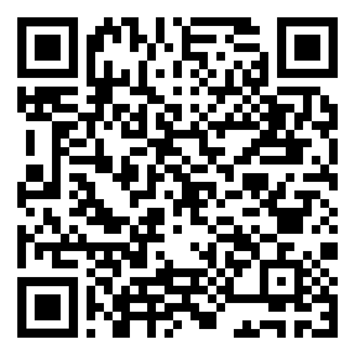
Use the QR code or click to view the members' dashboard and add your information.

Community Structure
Core Team (steering committee): The Core Team is comprised of 7 members including the Chair or Co-Chair(s). Members of the Core Team are nominated and/or re-elected every year in early January. We encourage diversified representatives from different agencies, entities, and programs. The Core Team plans and leads all community activities and shares relevant news, updates, and announcements with the U.S. Midwest chapter community. The Core Team is also responsible for producing, updating, and maintaining the community online materials, such as the dashboard, brochure, and webpage.
Core Team Alumni:
- Dyan Pursell - Missouri Department of Conservation (2024 and 2025)
Current Core Team (alphabetical order):
Chair and Co-Chairs: The current Chair is Mohammed Al-Saffar (2024 - Present). The Chair will have anywhere between one to three Co-Chairs (as needed). The Co-Chairs must be core team member(s). The responsibilities of the Co-Chairs are:
- schedule and lead Core Team and community activities;
- implement actions recommended by the Core Team;
- be a community representative and contact person for the U.S. Midwest Chapter;
- serve as a point of contact for updating the community online material and webpage.
Community members: Community members include conservation GIS practitioners working in the U.S. Midwest region (any affiliation). They can join the chapter by filling out the membership form at the link above. Community members voluntarily help other community members by providing conservation GIS consultation(s) when needed. They can take advantage of the community office hours when needed to ask for help and consultation on their work and projects and connect with other members with relevant experience. Community members may also participate in a range of community networking events offered.
Background about the U.S. Midwest Chapter (MCGIS) community
MCGIS has come about from a partnership initiative by the Upper Mississippi/Great Lakes Joint Venture (UMGLJV). In January 2024, conservation GIS practitioners within the UMGLJV network (federal and state agencies and non-governmental organizations) realized the benefit of creating a conservation GIS Community of Practice in the Midwest region of the United States and supported the effort to do so. Our current members are conservation GIS practitioners that represent many conservation organizations from across the U.S. Midwest region. Seven members have volunteered to form our 1st core leadership team, with Mohammed Al-Saffar, elected as our first Chair.
Creating a network for conservation GIS practitioners in the U.S. Midwest will support information sharing and collaborative learning, provide technical support, and advance conservation GIS in the region. The SCGIS Midwest Chapter will unite geospatial and conservation practitioners across the U.S. Midwest region through the sharing of regional and local geospatial data and models relevant to environmental conservation and best practices. We will aspire to plan both virtual and in-person networking events and provide a platform for community members to share research interests, data, methods, and geospatial needs.
Our Ultimate Goal:
Create an active community of practice connecting conservation GIS practitioners in the U.S. Midwest Region.
Contact Us!
Mohammed Al-Saffar
Email: [email protected]
phone number: 517 – 580 – 0979
Our bi-weekly virtual Office Hour (using Microsoft Teams) will be available to chapter members every other Friday (2:00 - 3:00 PM Eastern). All community members are welcome to use the Office Hour to receive technical help with geospatial analysis issues and be connected with others in the region doing similar work.
View the MCGIS brochure (opens a pdf)
|